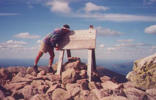
Day one: August 4th, 1998. Mt. Katahdin. This
was a beautiful, warm day. This picture was taken by a section hiker I
met while climbing Katahdin. His name was Joe. He worked for a paper company.
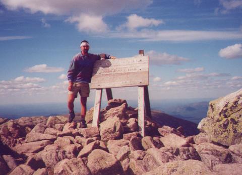
Me standing next to the sign where it all begins.
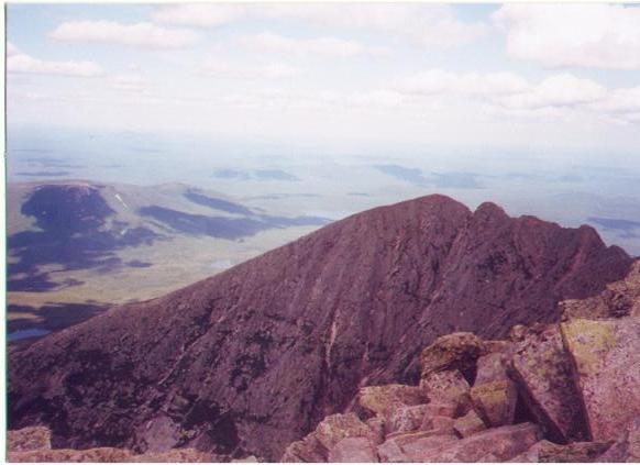
This was the view from over the top of the sign
above. I believe that the 'ridge' you can see is known as
"The Knife's Edge"
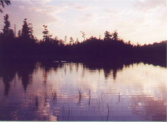
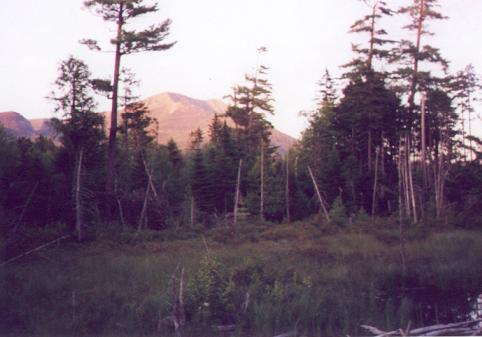
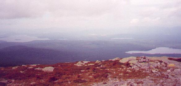
This is the first pond a southbounder comes to.
It is just south of Perimeter Road. The 'waves' that you can see (left
center) are made by a cow moose. Yes, I saw a moose in my first body of
water big enough for one. This was taken on the eve of my first day. I
got to my first shelter right at dark.
This was taken just south of the pond above (I believe from a bog-bridge
over the outlet of that pond.)
It is, of course, a picture of THE mountain.
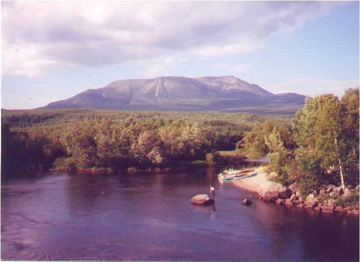
This was taken from Abol Bridge. This is where
the AT crosses the Penobscot River. This is day two. Roughly 15 Trail miles
from 'The Rock". This view, on a day like this, is worth the 2,145 mile
walk from Georgia (for a northbounder).
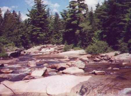
This is a stream somewhere in the 100 Mile Wilderness.
There had been a marten, or marten-like animal, climbing on the rocks in
the middle of this picture seconds before I took it. (The picture, not
the animal.)
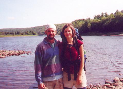
This is me and the girl (Pokey) on the south shore
of the Kennebec River. (No, I don't know how a guy hikes through the 100
Mile Wilderness and takes one picture. Next time...oh, just you wait.)
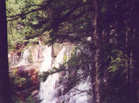
I believe that this is the waterfall just south of the Kennebec River.
I'm not positive, though.
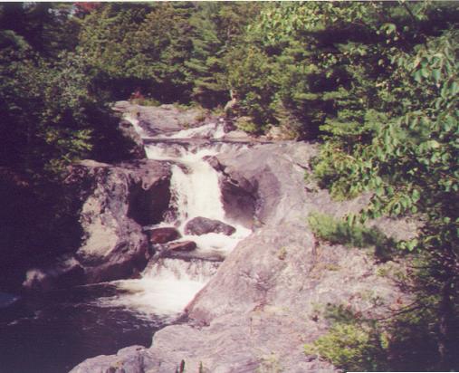
Same as above. I believe this is a waterfall south of the Kennebec.
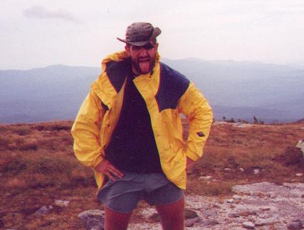
This is Patch, or Satchel. This picture was taken on top Saddleback
Mtn. in Maine. This was the first day we hiked with Patch. We hiked together
for the next month or so.
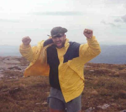
This is also Patch on the summit of Saddleback. This was taken with
my camera. For some reason, Patch's tongue fell out of his mouth right
when I took this. Go figure.
A view to the east from Saddleback.
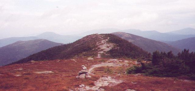
And, to the north.
This is Soyboy, or Boy of Soy, in Rangeley, ME. We started hiking with
him the same time we did Patch.
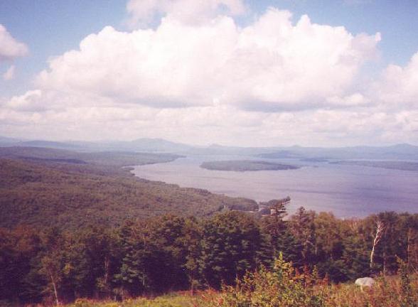
I believe that this is the large lake you can see from the highway crossing
at Maine 17.
I'm not certain about that.
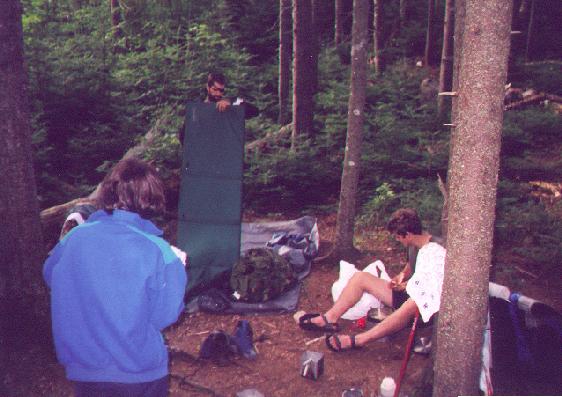
This is Pokey, Patch (with mattress) and Soyboy setting up camp next
to Surplus Pond. There was a moose in Surplus Pond about the same time
this photo was taken. Is Pokey eating?
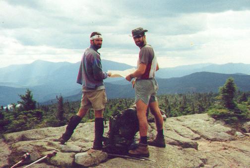
I'm not sure where this was taken. It is Patch and I checking a map
somewhere. It looks like Maine.
(Anyone know where this is?)
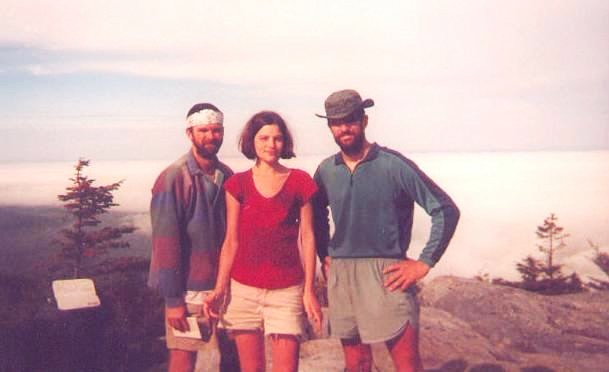
This is me, Pokey and Patch. I don't know where it was. (If I wasn't
in the picture, I'd swear I wasn't even there.) I'll try to figure out
where we were.
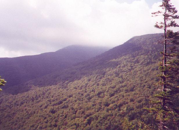
This is Baldpate Mt. from halfway up the south side of Grafton Notch.
(Looking north)
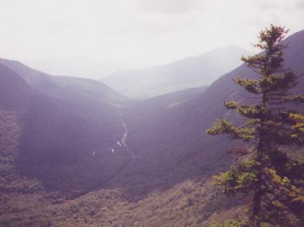
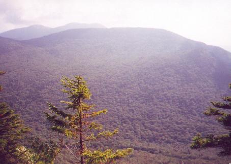
This is looking through Grafton Notch, to the east, from the same spot
as picture above. I was standing on the ledge on the sidetrail about halfway
up Old Speck. Can't remember the name of the ledges, though.
The cloud-covered summit in the upper-middle of this picture is Old
Speck. A 'Speck'tacular mountain.
It was taken from the same spot as the previous two pictures.
![]()
This is our first state line. Sounds like nothing, but, oh, was it something.
